Pennine Bridleway National Trail

Rise End, Middleton, Matlock DE4 4LS, United Kingdom
1-90 Years

Description

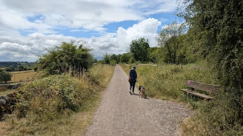
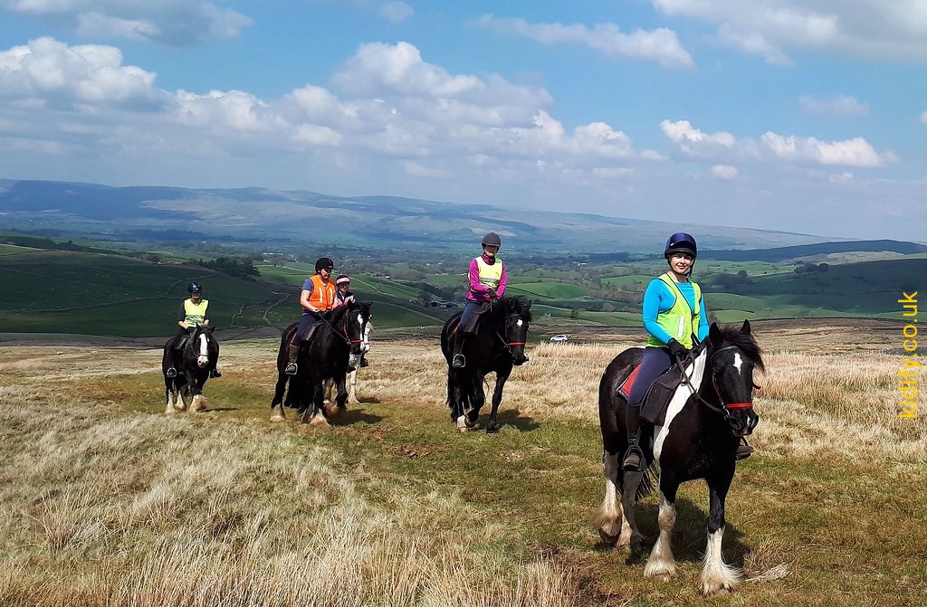
The Pennine Bridleway National Trail is a 205 mile (330 km) long National Trail running through the Pennine hills from Derbyshire to Cumbria. It was specially designed for horse riders and is also suitable for mountain bikers and walkers. The full route was officially opened in June 2012 by Martin Clunes, President of the British Horse Society.

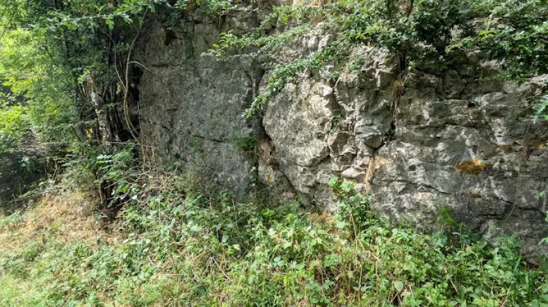
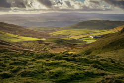
The trail includes two major loop sections: the 47 mile Mary Towneley Loop in the South Pennines and the 10 mile Settle Loop in the Yorkshire Dales. Along the route, visitors can experience a mix of landscapes including Chee Dale Nature Reserve, Kinder plateau, Roych Clough, Lancashire moors, Wycoller village, Malham Tarn and the peaks of Ingleborough, Whernside and Pen-y-ghent. The trail follows a variety of surfaces such as minor roads, aggregate tracks, grassed stone tracks and ancient packhorse routes, offering a diverse and scenic journey.

The Pennine Bridleway National Trail is free to access.

Overall, the trail offers a long-distance outdoor adventure through some of England’s most scenic countryside. With a mix of historic routes, natural landscapes and varied terrain, it provides a rewarding experience for riders, cyclists and walkers. It is an ideal route for those looking to explore the Pennines in depth.

Features

  • Free
  • Host birthday parties: No

Features

  • The Pennine Bridleway is a 205 mile (330 km) long National Trail running through the Pennine hills from Derbyshire to Cumbria. It has been specially designed for horse riders and is also a fantastic trail for mountain bikers and walkers. The route was opened in stages with the final section and full length officially opened in June 2012 by the President of the British Horse Society, Martin Clunes.
  • The Trail is a linear route but it also includes 2 large loop sections: The Mary Towneley Loop and The Settle Loop. The Mary Towneley Loop in the South Pennines was the first section of the Pennine Bridleway to open and was completed in 2002. It is 47 miles long and makes a great weekend’s walk or ride (although some mountain bikers like to try and do it in a day!).
  • The Settle Loop is a 10 mile circuit in the Yorkshire Dales. It makes an excellent day’s walk or ride and can be extended by using the bridleway network to take in the village of Malham too. The route follows a variety of surfaces including minor roads, aggregate tracks, grassed stone tracks, stone setts and worn causey flags.
  • Some of these were newly created specifically for the Pennine Bridleway but some are ancient highways such as drovers roads or packhorse trails and have been in use for centuries. There are many highlights along the Trail. There are route descriptions  covering the whole length of the Pennine Bridleway in the Further Information section of this website.
  • The southernmost section of the Pennine Bridleway follows the line of the former Cromford and High Peak Railway along the High Peak Trail and there is an alternative starting point (recommended for horse riders) which uses part of the Tissington Trail on the former Ashborn-Buxton line.
  • Towards the south you’ll also find the flora and fauna in the vibrant, clean and green Chee Dale Nature Reserve; stunning views over the Kinder plateau either side of the exhilarating yet peaceful Roych Clough; panoramic views of the Pennines and valleys in Calderdale, Rochdale and Lancashire; the 6 compartmented water trough at Mankinholes where packhorse ponies stopped for refreshment; and the Rochdale Canal.
  • New trails link with old to zig zag up, down and across the Lancashire moors en route to the village of Wycoller with its ancient packhorse bridge. The north Lancashire stretch offers a more pastoral scene and a bit of a breather before reaching the Dales.
  • The Yorkshire Dales section features classic limestone landscapes, including great views of the nationally important Malham Tarn and the peaks of Ingleborough, Whernside and Pen-y-ghent. The route travels from Dales villages to remote open uplands via enclosed grassy tracks and wide drove roads with glimpses of limestone pavements, impressive viaducts on the Settle to Carlisle railway.
  • Once up on Lady Anne’s Highway there are stunning views along the Mallerstang valley before a final push from High Dolphinsty to the Cumbrian village of Ravenstonedale. ,The National Trail is very well way-marked so following the route is easy. But it is always a good idea to take a guidebook or map.
  • The route runs through the Pennines so expect hills and changeable weather! The best time to complete the Trail is April to October, when the weather is most favourable. The Pennine Bridleway National Trail is not the same as the Pennine Way National Trail. The Pennine Bridleway follows a different route and has been designed especially for horse-riders and cyclists.

What to see

  • Start: Middleton Top, Derbyshire
  • End: Ravenstonedale, Cumbria
  • Length: 205 mile (330 km) 

Price

Price: Free

Birthday Parties

Offer Birthday Parties: No

Address: Rise End, Middleton, Matlock DE4 4LS, United Kingdom

Post Code: DE4 4LS

Council: Derbyshire Dales

County: Derbyshire

5.00

0 Reviews

Rating breakdown

5
80% Complete (danger)
0
4
80% Complete (danger)
0
3
80% Complete (danger)
0
2
80% Complete (danger)
0
1
80% Complete (danger)
0

More Day Outs in Derbyshire Dales

Get the best blog stories into your inbox!